


A long-delayed $25 million, five-year study of how to manage the Mississippi River from Cape Girardeau, Mo., to the Gulf of Mexico was officially launched by the Army Corps of Engineers on Thursday.
The study is aimed at a variety of issues involving the river's future management, including hurricane and storm damage reduction, other flood issues, navigation, ecosystem and environmental restoration, water supply, hydropower production, recreation, and other topics identified by the secretary of the Army.
The study was originally required in 2018 and 2020 legislation, with funding provided in 2019, largely through the efforts of U.S. Rep. Garret Graves, R-Baton Rouge.
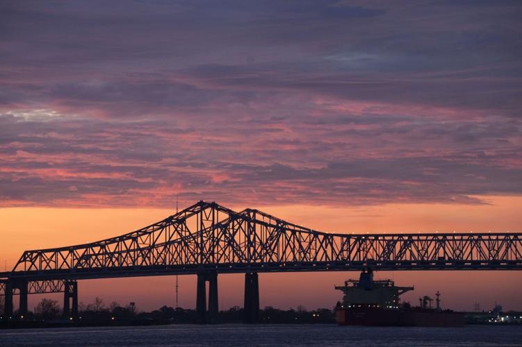
The bill authorizing the study also address continuing controversy over present Corps regulations that require using the Bonnet Carre Spillway as the flood control alternative to protect New Orleans during high river events, and the millions of dollars in economic losses resulting from its use. The language was supported by Louisiana and Mississippi state officials.

This map shows the areas included in the Army Corps of Engineers' $25 million, five-year Lower Mississippi River Comprehensive Study. (Army Corps of Engineers)
The spillway openings have been linked to major losses of oysters and other fishery resources because of freshening of saltwater and brackish areas of Louisiana lakes and the Mississippi Sound, and to algae blooms caused by nutrients in the river water that have harmed tourism in Mississippi and the recreational use of Lake Pontchartrain in Louisiana.
The legislation authorizing the study called for it to include reviews of several sediment and freshwater diversion projects then proposed as part of Louisiana’s coastal Master Plan that also could be used as alternatives for redirecting high river flows away from the Bonnet Carre Spillway's exit into Lake Pontchartrain.
Those projects include the proposed Ama sediment diversion on the river’s west bank just north of the existing Davis Pond freshwater diversion, a freshwater diversion at Union on the east bank, with water directed into the Manchac swamps, and a diversion that would redirect water from inside the Bonnet Carre Spillway west along the Manchac landbridge.
In addition to Louisiana and Mississippi, the study also is to review similar flooding and environmental issues along the river in Arkansas, Illinois, Kentucky, Missouri and Tennessee.
“This study provides the opportunity to consider this critical flood risk management system and identify what, if any, opportunities and modifications are needed to account for the change in river dynamics as well as the needs of the nation over the last century,” said Col. Cullen Jones, commander of the Corps' New Orleans district. “The Mississippi River is the nation’s most important waterway and one of the world’s most important natural resources. We are committed to ensuring it remains so in the future.”
Congress provided an original appropriation of just over $8 million for the study in 2021, and the remainder of the money in the middle of 2022, but at that time, the money only covered 50% of its cost, with the other half required to be paid for by Louisiana and the other states.
In December, Congress required the study to be 100% federally funded, which cleared the way for the Corps’ New Orleans district office, with assistance from personnel in its Vicksburg, Memphis and St. Louis district offices.
The study team is required to make annual reports on its progress to Congress, and the Corps also expects to hold several public meetings on the project.